Georeferenced maps and views
Orthomosaics, grids, aerial views and localized documentation.

Terradata acquires and transforms aerial data to understand a territory, monitor an asset or document an operation.
Deliverables
Orthomosaics, grids, aerial views and localized documentation.
Surfaces, volumes, 3D models and data that can be compared over time.
Detection, categorization and visual summaries prepared for the decision at hand.
Applications
The tools change with each mandate. The starting point is the decision your team needs to make.
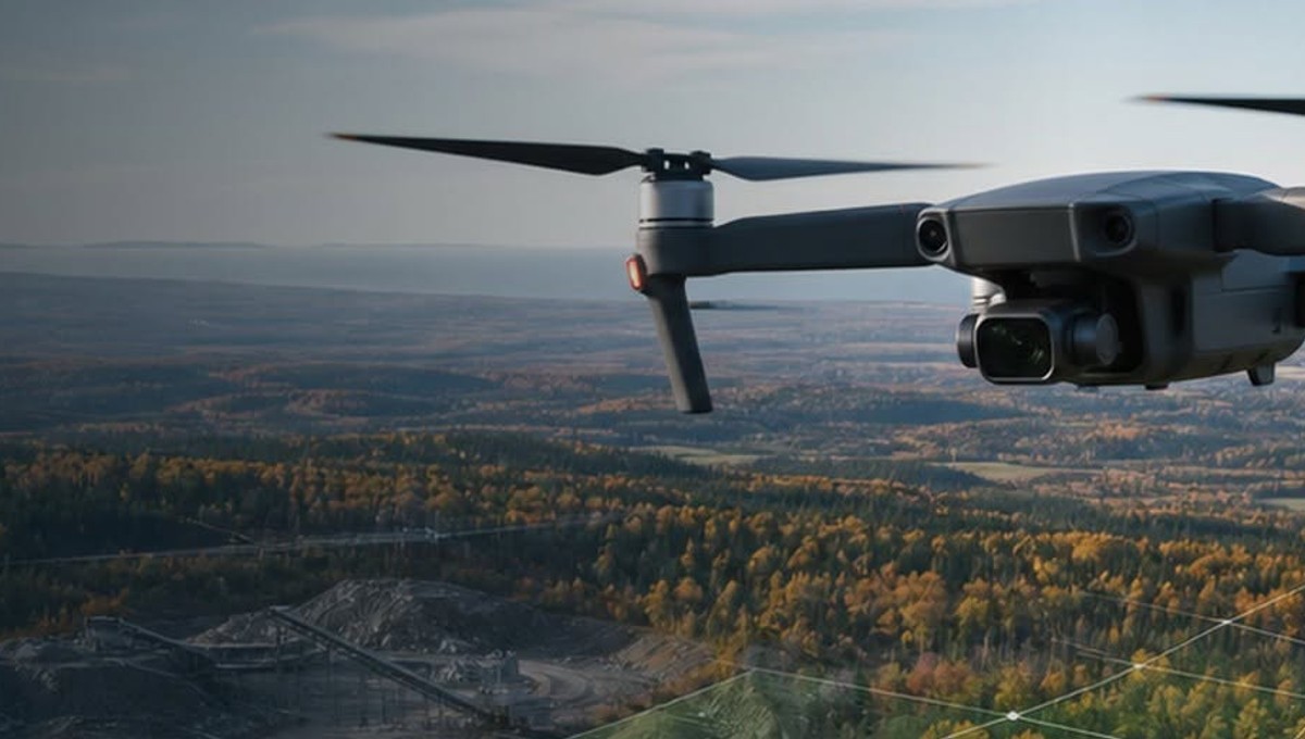
Aerial mapping, forest observation and a clear view of access points and constraints.
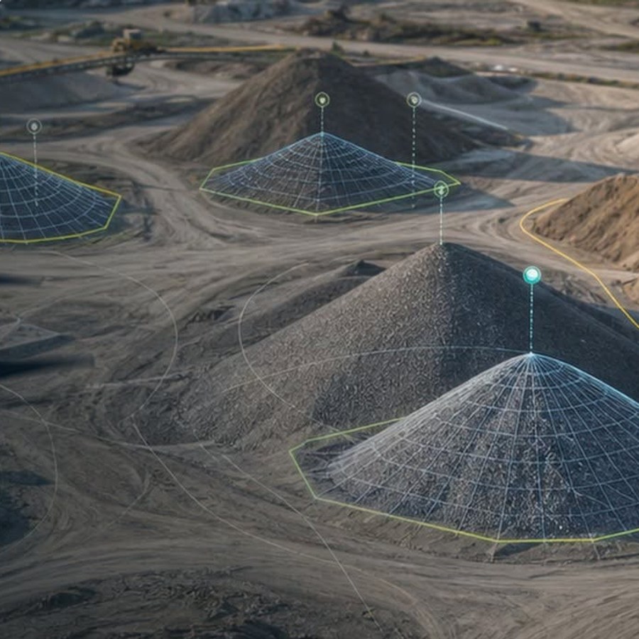
Progress monitoring, volumetrics, modelling and documentation of materials.
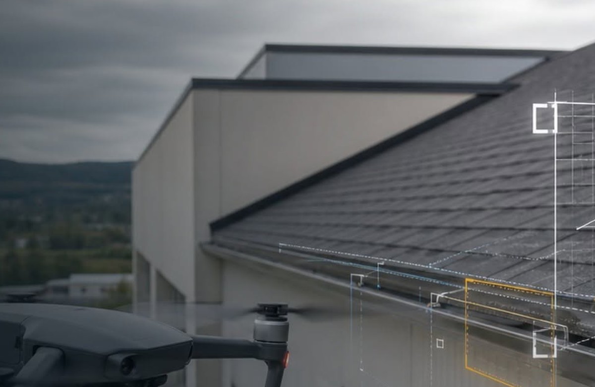
Close-range documentation and technical observation without a lift bucket or crew at height.
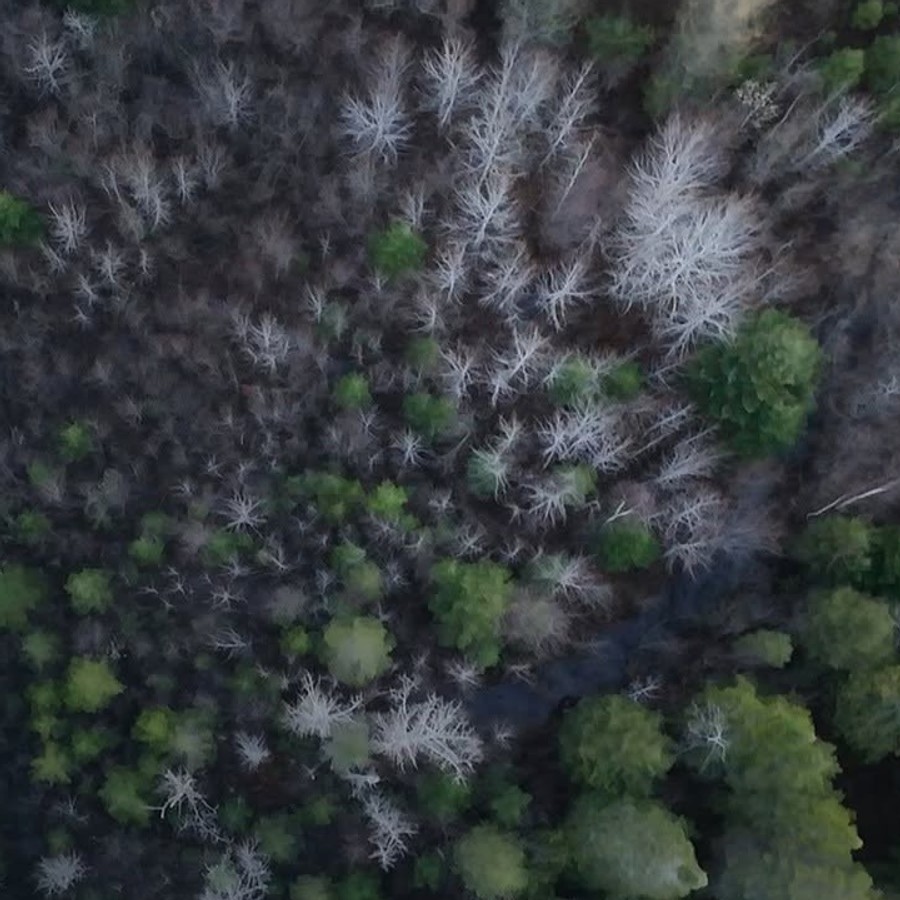
Rapid aerial overview, aerial search and visual information for field teams.
Process
Understand the terrain, constraints and expected outcome.
Capture aerial data according to the defined protocol.
Transform imagery into georeferenced, measurable deliverables.
Provide information ready to support the decision.
Describe the terrain, constraints and desired outcome. Terradata can scope the right mandate.